One hundred eighty-third in an alphabetical series on West Kootenay/Boundary place names
South Slocan had several earlier names including Ward’s Ferry, Ward’s Crossing, and Ward’s Bay, named for Thomas Martindale Ward (1859-1903).
Ward was born in India, where his father was a surgeon. As a child his family moved to England and then Canada, where they settled on a farm near Stanhope, Que. Ward attended the Ontario Agricultural College before heading west, arriving in BC in 1884. He spent time in Golden and Revelstoke and then came to Nelson in 1888, where he landed a government contract to run a ferry across what’s now known as Slocan Pool. Before completion of the railway, it was a critical link on the trail between Nelson and Sproat’s Landing, near present-day Castlegar.
Ward built a rough hotel called the Rustle House — so named because he furnished accommodation plus bannock and coffee but his guests had to rustle everything else. Although the ferry had been in service for a while, the first mention of Ward’s Ferry by name is in the Nelson Miner of June 21, 1890: “Joe Wilson’s pack train cleaned up all the Nelson freight at Sproat and brought it up the north side of the river, crossing it at the falls instead of at Ward’s ferry.”
Ward’s Crossing was first mentioned in the Miner on July 12 of that year: “The trail is not only longer than the government trail by way of Ward’s crossing, but it is rougher …” while Ward’s Bay appeared for the first time on July 18, 1891 when the Miner noted the sale of the Black Bear claim by Frank Fletcher to Franklin Farrell, “½ mile below the falls at Ward’s bay.”
These three variations were used interchangeably for some time, and persisted even after the Canadian Pacific Railway adopted the name Slocan Junction for the southern terminus of its Slocan subdivision. The earliest reference was Herbert Lambert’s application “to sell liquor by retail at Slocan Junction,” dated June 26, 1897 and published in the Nelson Miner on July 3. A week later the Nelson Tribune noted: “The new branch leaves the C&K railway at Ward’s Crossing, which is now known as Slocan Junction.”
Fifteen years later, the name was inexplicably changed from Slocan Junction to South Slocan. The earliest mention yet discovered is in the Nelson Daily News of Oct. 23, 1912: “[T]he CPR will commence next Saturday, Oct. 26 [to] attach a coach to the through Saturday night freight train for Slocan City, leaving Nelson at 10 p.m., South Slocan at 10:30 p.m. …”
The Daily News used both South Slocan and Slocan Junction throughout 1913, sometimes in the same story. The Slocan Junction post office, opened in 1899, was renamed South Slocan in 1915. But the old name lingered on: Slocan Junction appeared in Wrigley’s BC directory through 1923 with the note “See listings under South Slocan.” The Slocan Junction school didn’t change its name to South Slocan until 1931.
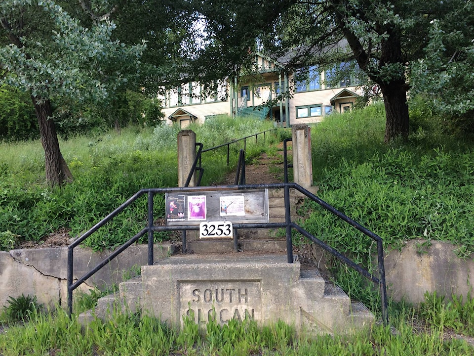
The community grew with West Kootenay Power’s construction of the South Slocan dam in 1928, and by the 1950s, the chief residential and business area was known as South Slocan Village. This name survives in local use and the old highway is now called South Slocan Village Road. South Slocan was never actually an incorporated village, although it has a commission of management that functions somewhat like a council.
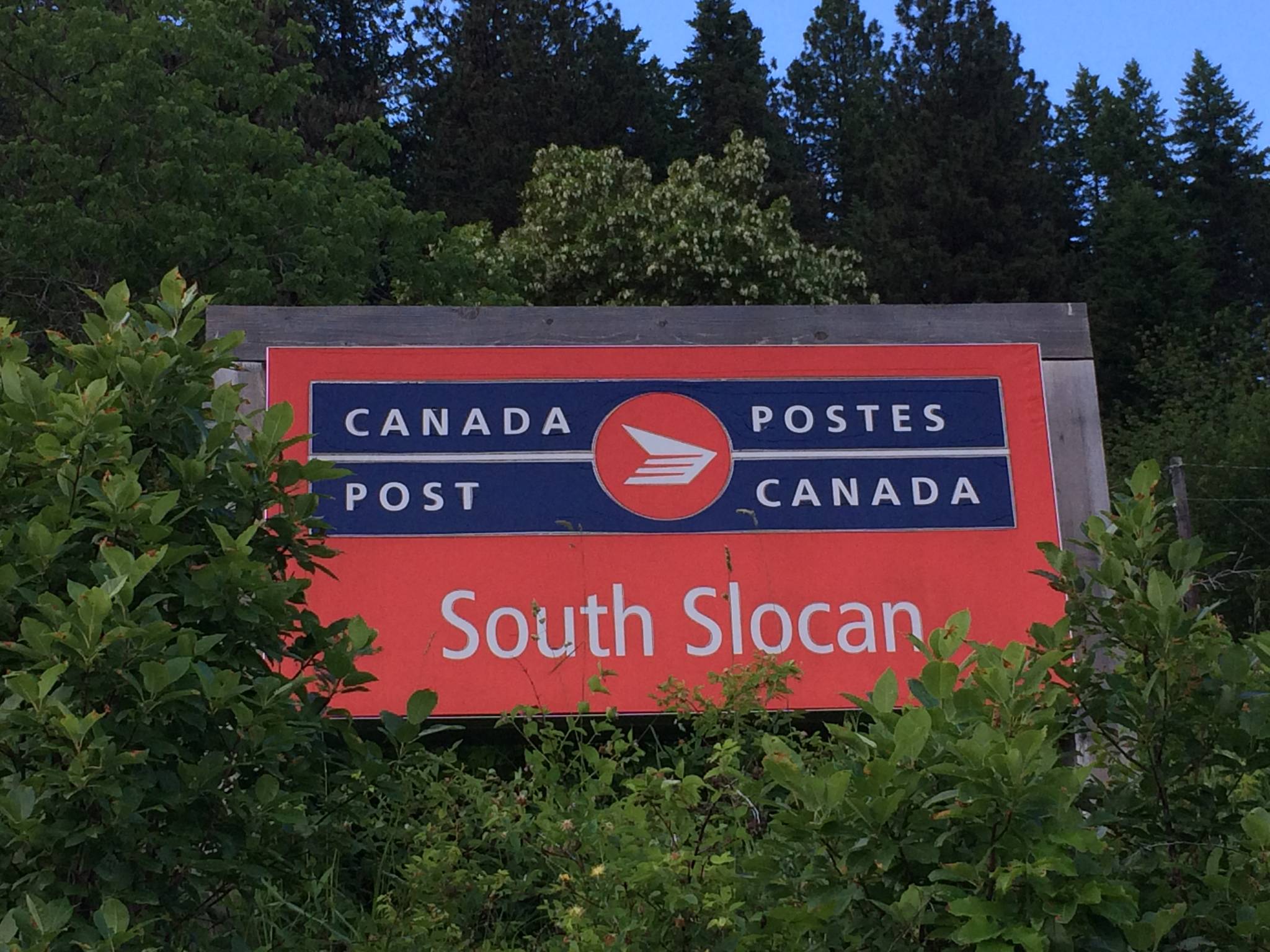
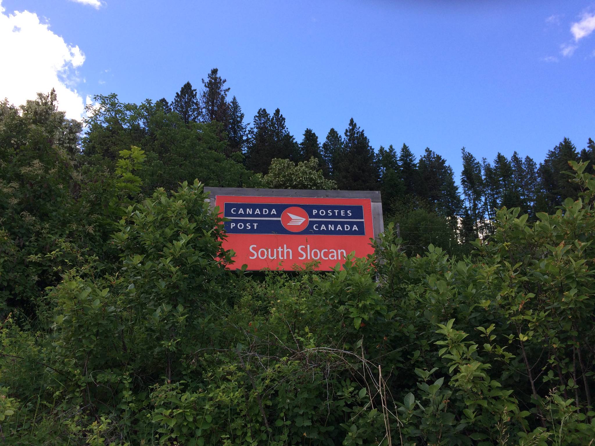
South Slocan’s boundaries have unofficially grown over the years to include parts of what might formerly have been considered Crescent Valley or Shoreacres. Further blurring the lines, in 2001 the South Slocan post office moved from the village to Ione’s Restaurant on Osachoff Road, putting it in close proximity to the Crescent Valley post office. In fact, the Crescent Valley post office was once briefly located at that same spot. (The South Slocan post office has since moved three more times, onto Garden Rd., then to a fruit stand at the junction, and now back to the village.)
The intersection of Highway 3A and 6 is also known as Playmor Junction, a name first used in 1968, which we’ve previously covered. It was officially recognized in 1985 as a “community.” Playmor Junction and South Slocan are now virtually synonymous, and sometimes you’ll see “South Slocan Junction.”
Despite its name, South Slocan isn’t generally regarded as being in the Slocan Valley — at least the village isn’t. Nor for that matter is Slocan Pool on the Slocan River – it’s on the Kootenay. The latter name was officially adopted in 1955. Although no longer widely used, Wards Bay (without the apostrophe) remains an official name as well.