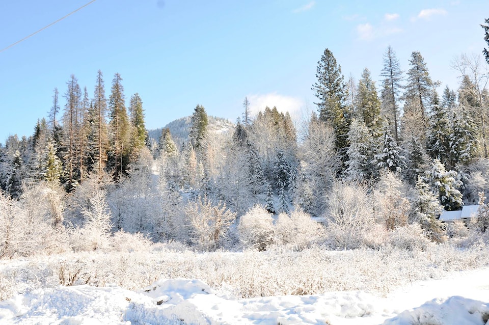
December was warmer than seasonal norms for the 12th month of the year.
In fact, a new record high of +6.4 C was set on Dec. 19, breaking the previous daily maximum of +6.1 C, set way back in 1966.
A more impressive value of +9.0 C also set a new daily record maximum on Dec. 20, smashing the previous high for the day of +6.9 C set in 2004.
(Of note, the warmest December day on record for this region remains a balmy +11.6 C set on Dec. 27, 1980.)
“The large-scale pattern was initially dominated by a mild and dry area of high pressure that transitioned to a more active pattern with a series of Pacific frontal systems in a mild westerly flow,” local forecaster Jesse Ellis reported this week.
These mild temperatures coincided with a set of frontal waves that brought over one-third of the month’s total rain, or 13.4 millimetres (mm) of the month’s total 37 mm.
The melted water equivalent of snowfall totals is usually more than double what this region gets in the form of rain, which is generally a 64.8 mm water equivalent of snow versus 31.3 mm rain.
This month, total rainfall and melted water equivalent of total snowfall were almost the same, or 38.6 mm of snow versus 37 mm of rain.
“The warmer and rainier than average weather is mainly a result of Arctic air never making it into the area [last] month,” explained Ellis.
Read more: Christmas tree pick up
Read more: Beaver Valley Christmas cheer
newsroom@trailtimes.ca
Like us on Facebook and follow us on Twitter
