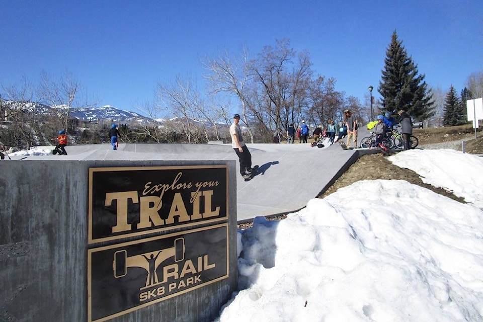
Spring has sprung in the West Kootenay, seemingly overnight.
Temperatures are expected to hover in the mid to high teens until Friday, which is warmer than the average 10 C for the third month of the year.
“We could see isolated incidences near 20 degrees” says local forecaster Jesse Ellis. “But it’s going to feel like record-breaking heat, and that’s because we are coming out the second coldest February we’ve had on record here.”
For those looking to soak up some rays, however, these first days of March break are looking like the time to do it because clouds and spring showers are called for on the weekend.
The strong ridge of high pressure currently dominating the region’s weather, is expected to blow east in the coming days, and be replaced by a Pacific front now lingering off the coast.
“I’d be thinking a mix of sun and cloud by the weekend, and we are going to see temperatures back down, closer to the seasonal norms,” said Ellis. “And we’ve got a better chance of seeing showers, or the odd thunder storm by Sunday, or the beginning of next week.”
With such a quick switch to a warmer climate in the Kootenay Boundary and most of B.C., Avalanche Canada issued a special public avalanche warning on Monday.
The advisory is widespread and applies to all the forecast regions in Western Canada.
Backcountry users, including those going outside ski area boundaries, are advised to keep careful track of regional avalanche forecasts as well as be equipped, and have the knowledge to use, essential rescue gear, such as a transceiver, probe and shovel.
Those heading to the mountains to snowshoe or explore the front country should also be aware that many popular summer trails are exposed to avalanche terrain.
“This is the first big warming to hit our snowpack, which is still fairly complex and winter-like,” advised Senior Avalanche Forecaster Grant Helgeson in a March 18 news release.
“Any time the snowpack is hit with a big change, it tends to de-stabilize,” he explained.
“The temperatures are forecast to increase substantially this week, with no nighttime cooling. This will weaken the snowpack on all aspects, increasing the possibility of large natural avalanches as well making it easier for the weight of a person to trigger deeper weak layers.”
