Residents who get their drinking water from creeks located within the perimeter of the 2021 Octopus Creek wildfire should consider finding additional ways of treating their water.
That’s because there is a risk of debris floods on Taite, Octopus, Gladstone, and Van Houten Creeks and along parts of Applegrove Road, according to a study conducted by the Ministry of Forests, Lands, Natural Resource Operations and Rural Development, released on Nov. 9.
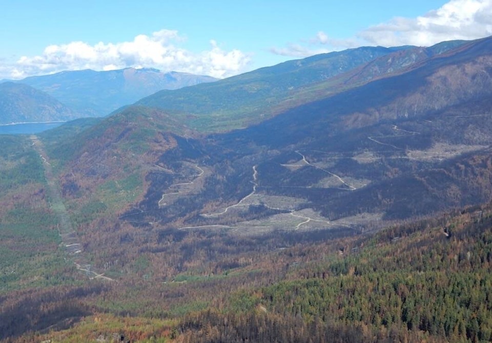
The Octopus Creek wildfire burned 22,049 hectares on the east shore of Lower Arrow Lake south of Fauquier.
The purpose of the report is to assess potential hazards and risks following the wildfire. A similar report was prepared for the Michaud Creek wildfire, which burned 14,032 hectares on the west of Lower Arrow Lake south of Edgewood.
“Following a wildfire, the chances of soil erosion, landslides, and floods can increase,” an RDCK news release accompanying the reports states. “This risk can be enhanced with intense rainfall or rapid snowmelt.”
The Octopus Creek fire report also recommends that:
• Recreation Sites and Trails BC consider closing Gladstone, Van Houten and Octopus Hotsprings Recreation Sites for at least the next three years due to high flood risk
• The agency post hazard warning signs at other locations
• The forest ministry regularly inspect and maintain Taite Creek and Octopus Creek bridges along Applegrove Road, particularly after significant rainstorms.
The Michaud Creek report warns of possible water quality impacts on Dog, Renata and Bowman Creeks as well as flooding on those creeks that could impact dwellings.
The Octopus Creek and Michaud Creek wildfires resulted in multiple evacuation alerts and orders.
Both reports can be found at https://bit.ly/3CdPnzW.
bill.metcalfe@nelsonstar.com
Like us on Facebook and follow us on Twitter
READ MORE: