The City of Rossland is asking residents to leave the drones flying overhead this week to do their business.
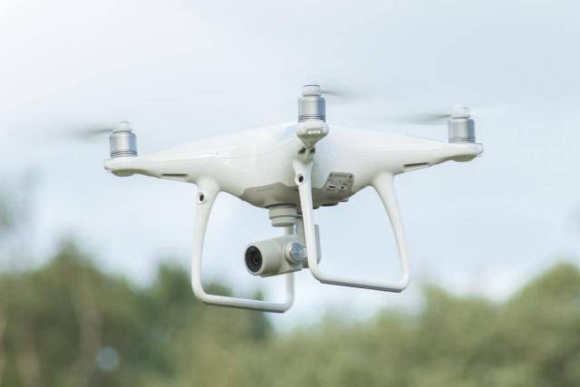
Trail-based surveying company Hinterland Surveying and Geomatics will be using drones to perform aerial surveys for the municipal government between now and Aug. 2.
The imagery is being collected in order to update the Ccity’s mapping systems.
“It’s used for everything,” says city planner Stacey Lightbourne. “From locating trees, to services and infrastructure, you name it, we use it, and so does the public. It’s so much better than Google Earth. It’s really high-resolution.”
The drones will be flying in pre-configured patterns at high altitudes, capturing thousands of individual photographs that are later stitched together into a seamless, high resolution image of the city.
It’s the first time the city’s refreshed its aerial maps of the city in about four years, says Lightbourne. Recent advances in drone technology have made them a cost-effective alternative for collecting aerial imagery, which has traditionally been captured via manned aircraft.
The city has to regularly update its aerial maps for planning purposes, she says.
“If you can imagine, looking at 2015 data, some of the houses in Redstone aren’t there, it’s quite different,” she says. “When we’re looking at a map and overlaying it with our infrastructure and property lines, it’s important that they are fairly accurate. That’s the challenge with it.”
The project will cost about $18,000, says Lightbourne. The new data should be available for the city’s and public’s use by the fall.
“City and Hinterland Surveying and Geomatics staff request that citizens refrain from interfering with the data collection process and appreciate your compliance,” says a city news release.
Lightbourne says so far there’ve been no reports of problems with people interacting with the drones.
Anyone with questions can get more information on the project by contacting city hall.