Every year, countless skiers and backcountry enthusiasts take to the snowy trails to encounter the best powder and vistas.
This can however be a dangerous endeavour, since avalanche threats and best route options are sometimes not obvious.
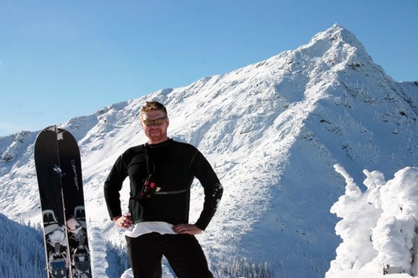
Trevor Campbell aims to at least make the venture safer and easier.
What Campbell has done is created two backcountry ski maps, one for the Rossland Range and one for the Kootenay pass.
“What they are is two-sided maps, one side there is a 1:25,000 scale topographic map and then the other side of each map has over 30 oblique angle photographs of different routes.”
Accompanying each photograph is a route description and avalanche terrain exposure scale rating. To get the oblique angles he climbs each mountain and takes a photo of the one opposite to it.
Also included on the maps are the different approach routes that people use to get to the summits and also all the different shelter locations for each area.
Campbell said the maps that are out there right now, such as the government maps that most people use, are quite low-resolution, at 1:50,000, compared to 1:25,000 on his maps.
“So you get double the resolution,” he said. “Plus, these are specific to backcountry skiing so they have all that sort of information that you wouldn’t include on an ordinary map, they’re a specific use map.”
Campbell will soon be releasing the maps, which will be sold at a number of retailers around Rossland, as well as Nelson and Creston so far.
They will also be available on his website.
The first map took eight years to survey and complete, though Campbell said he did also complete two degrees in that time.
He said the product developed over time as he increased his skills and qualifications and learned more about what he was doing and how to actually do it.
The second map was much quicker, with surveying taking three weeks and layout another few months.
“It was considerably quicker to do the second one,” he said.
Campbell moved to Rossland from Salmo a little over a year ago, where he’d lived since 2000. He said he originally began collecting the information for personal use and to be able to plan his next trips more easily.
As his library of information and photos grew he put it into a self-published guide book before heading back to school. He then decided to take the map making more seriously and peruse it on a professional level.
He said it has been a learning experience. The technical side became easier as the project progressed.
There was also a political side he had to contend with.
“People can get a little bit, I guess, territorial about their backcountry ski areas, so there is a little bit of consulting in the community and trying to gain people’s trust,” said adding that even now, there are still people who won’t be pleased about newcomers or tourists having a guide to those areas. That doesn’t bother him though.
“I take more of an altruistic approach, where I’m sharing these places with people,” he explained.
“I love it so much and it’s such a huge part of my life that I just want to share it with others.”
Dec. 11 at Cafe Books, he’ll be launching his maps, as well as having a short question and answer period and refreshments.
“It will be the first opportunity for the public to actually purchase the maps,” he said.
“It’s been such a huge, long journey and it’s been really satisfying to see it coming to an end. I’m really excited to see where the future’s going to take me with this.”